
Thursday Storm Timeline: Heavy Showers, Possible Thunder in Rancho Cucamonga |
Rain arrives late Wednesday, turns heavier Thursday morning and clears out in time for a sunny Friday |
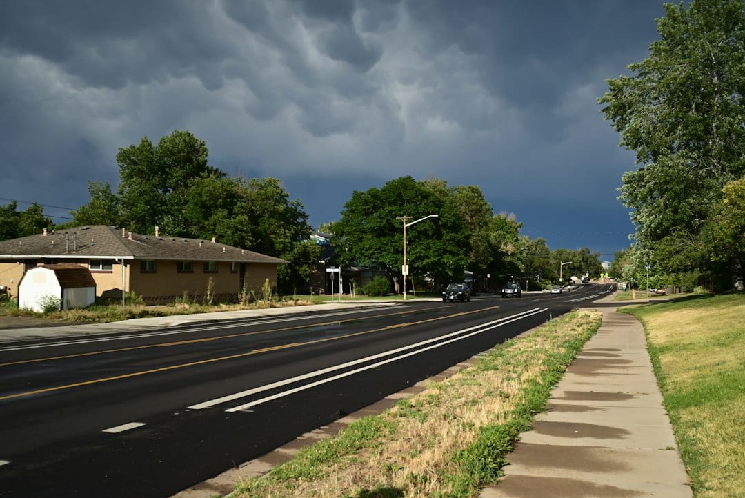
A fast-moving storm is expected to make Thursday, Nov. 19, the wettest day of the week in Rancho Cucamonga.
The National Weather Service forecast for the city calls for showers Thursday, a 100% chance of precipitation and a high near 59 degrees.
Forecasters say thunderstorms are possible after 10 a.m., and some of them could produce heavy rainfall.
When the rain arrives
The weather service gives a chance of showers after 10 p.m. Wednesday, with an overnight low near 52.
A storm timeline from NBC Los Angeles has rain reaching Pomona by about 6 a.m. Thursday and turning heavier across parts of the Inland Empire by mid-morning.
By midday, the steadiest showers are expected to move toward Hemet, Temecula and the low desert, with scattered showers tapering off by mid-afternoon, according to that timeline.
Showers remain likely Thursday night, mainly before 10 p.m., with a low around 48.
How much rain and wind
No agency has posted a specific rainfall total for Rancho Cucamonga.
MyNewsLA, citing the weather service, reported that the Riverside area could pick up roughly half an inch to an inch of rain by Friday morning.
The same report said gusts of 25 to 30 mph are possible in coastal and valley areas, with stronger winds in the mountains and deserts.
On Wednesday, the weather service issued a wind advisory for the San Gorgonio Pass and the Riverside County mountains from 11 p.m. Wednesday to 4 p.m. Thursday, with gusts up to 55 mph, Patch reported.
That advisory covers areas east of here, including Banning and Idyllwild.
Snow levels could fall to around 6,500 feet, with a few inches possible above 7,000 feet, which matters for anyone heading up to the local mountains.
Getting ready
Patch reported that downpours could cause flooding on roads and in low spots with poor drainage.
San Bernardino County Fire lists free sand and sandbags for residents at several valley fire stations, including Station 12 at 2413 N. Euclid Ave. in Upland and Stations 72 and 78 in Fontana, while supplies last.
The county notes that availability changes often and that sandbags are also sold at most home improvement stores.
Drivers should plan extra time Thursday morning, slow down on wet freeways and never drive through a flooded street.
Clearing out
Friday looks much calmer, with sunshine and a high near 61 in the city forecast.
Patch reported that a weaker system could bring light rain late Sunday into Monday.
Forecasts can change quickly with fast-moving storms, so check the latest weather service update before heading out.
Sources: National Weather Service San Diego, Rancho Cucamonga point forecast (https://forecast.weather.gov/MapClick.php?lat=34.1064&lon=-117.5931); NBC Los Angeles storm timeline (https://www.nbclosangeles.com/weather-news/storm-southern-california-rain-weather/3972090/); MyNewsLA, Inland Empire rain and snow forecast (https://mynewsla.com/weather/2026/11/17/rain-snow-forecast-this-week-across-inland-empire-2/); Patch, IE wind and rain forecast (https://patch.com/california/banning-beaumont/ie-braces-heavy-rain-55-mph-winds-thursday); San Bernardino County Fire, sandbag locations (https://sbcfire.org/sandbags/).
Photo by Gennady Zakharin on Unsplash |
0 Comments
Join the conversation
Be the first to comment
Share your thoughts above.